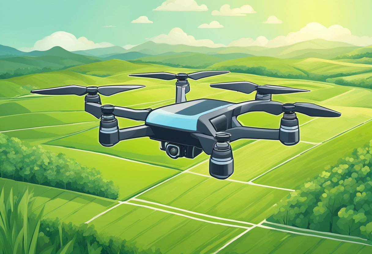
Using GIS and drone mapping in agriculture has become increasingly popular in recent years. This technology allows farmers to collect data on their crops and land quickly and accurately, leading to more efficient and sustainable farming practices. By using drones equipped with cameras and other sensors, farmers can gather information on crop health, soil moisture levels, and other important factors that affect crop yield.
GIS (Geographic Information System) software is then used to analyze this data and create detailed maps of the farm. These maps can be used to identify areas of the farm that may require additional attention, such as areas with poor soil quality or low crop yields. By pinpointing these areas, farmers can take targeted actions to improve crop health and increase yields.
Table of Contents
Overall, the use of GIS and drone mapping in agriculture has the potential to revolutionize the way farmers manage their land. With this technology, farmers can make more informed decisions about their crops and land, leading to more sustainable and profitable farming practices.
Fundamentals of GIS in Agriculture
Geographic Information Systems (GIS) have become an essential tool for precision agriculture. GIS is a computer-based system that is used to capture, store, manipulate, analyze, and display spatial data. In agriculture, GIS is used to create maps that show the distribution of crops, soil types, and other important features of a farm.
GIS can be used to analyze data from various sources, including satellite imagery, drone mapping, and ground-based sensors. This information can be used to create detailed maps that show the distribution of crops, soil types, and other important features of a farm.
One of the main benefits of using GIS in agriculture is that it allows farmers to make more informed decisions. For example, by analyzing soil data, farmers can determine which areas of their fields are more fertile and which areas need more fertilizer. This can help farmers to optimize their use of resources and increase their yields.
GIS can also be used to create prescription maps that show the exact amount of fertilizer or other inputs that should be applied to specific areas of a field. This can help farmers to reduce their use of inputs and save money, while also reducing the environmental impact of their farming practices.
Overall, GIS is a powerful tool that can help farmers to make more informed decisions and optimize their use of resources. By combining GIS with other technologies, such as drone mapping and ground-based sensors, farmers can create detailed maps that provide a wealth of information about their farms.
Drone Mapping Technologies
Types of Drones for Agriculture
Drones are becoming increasingly popular in agriculture due to their ability to collect data quickly and efficiently. There are several types of drones used in agriculture, each with its own advantages and disadvantages.
Fixed-wing drones are one type commonly used in agriculture. These drones are typically faster and have a longer flight time than other types of drones, making them ideal for covering large areas. They are also able to carry heavier payloads, which allows for the use of more advanced sensors and cameras.
Multi-rotor drones are another type commonly used in agriculture. These drones are more maneuverable than fixed-wing drones, making them better suited for capturing detailed images of crops. They are also able to take off and land vertically, which makes them more versatile in terms of where they can be deployed.
Imaging Sensors and Cameras
The sensors and cameras used on drones are crucial for collecting accurate data in agriculture. There are several types of sensors and cameras that can be used, each with its own strengths and weaknesses.
RGB cameras are the most common type of camera used on drones in agriculture. These cameras capture visible light and are used to create high-resolution images of crops. They are also relatively inexpensive, making them a popular choice for farmers.
Thermal cameras are another type of camera used on drones in agriculture. These cameras capture infrared radiation and are used to create temperature maps of crops. This information can be used to identify areas of stress or disease in crops, allowing farmers to take corrective action before it’s too late.
In addition to cameras, drones can also be equipped with other sensors such as LiDAR (Light Detection and Ranging) and NDVI (Normalized Difference Vegetation Index) sensors. LiDAR sensors create 3D maps of crops, while NDVI sensors measure the health of crops by analyzing the amount of light reflected by vegetation.
Overall, the combination of drone mapping technologies and GIS (Geographic Information System) software has revolutionized the way farmers collect and analyze data. By using drones to collect high-resolution images and other data, farmers are able to make more informed decisions about their crops, leading to increased yields and profits.
GIS and Drone Integration
Data Collection and Processing
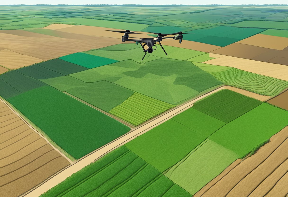
In modern agriculture, GIS and drone integration can provide valuable insights into crop management, yield prediction, and soil analysis. The integration of GIS and drone technology can help farmers collect and process data more efficiently and accurately.
Drones equipped with remote sensors can capture high-resolution images of crops, which can be used to create detailed maps of fields. These maps can be used to identify areas of the field that need attention, such as areas with low crop density or areas that require more irrigation. With GIS, farmers can analyze this data to make informed decisions about crop management.
Software and Platforms
GIS software provides farmers with the ability to analyze data and make informed decisions about crop management. Platforms like ArcGIS and QGIS provide farmers with tools to create detailed maps and analyze data. These software platforms can help farmers identify areas of the field that need attention, such as areas with low crop density or areas that require more irrigation.
Drone mapping software, such as DroneDeploy and Pix4D, can be used to process drone data and create high-resolution maps of fields. These maps can be used to identify areas of the field that need attention and track changes in crop health over time.
Overall, the integration of GIS and drone mapping technology in agriculture can provide farmers with valuable insights into crop management, yield prediction, and soil analysis. By using these tools, farmers can make informed decisions about crop management and improve their overall crop yield.
Applications in Agriculture
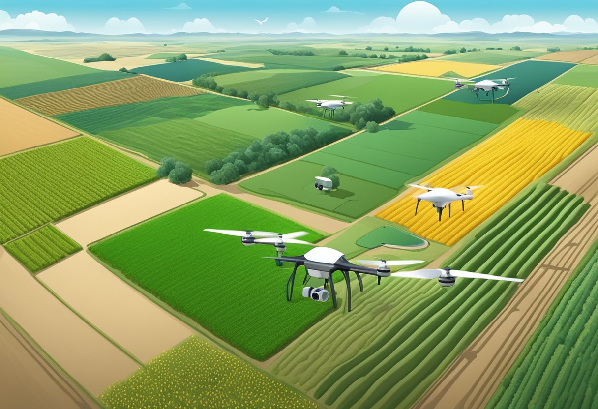
Crop Monitoring
One of the most significant applications of GIS and drone mapping in agriculture is crop monitoring. Drones equipped with high-resolution cameras can capture images of crops, which are then processed through GIS software to generate detailed maps of the fields. These maps can be used to identify areas of the field that require attention, such as those with low crop density or signs of disease. This information allows farmers to take targeted action to improve crop yields and reduce the use of pesticides and herbicides.
Precision Farming
Precision farming is another critical application of GIS and drone mapping in agriculture. By collecting data on soil moisture, nutrient levels, and other environmental factors, drones and GIS software can help farmers optimize their use of resources. This information can be used to create variable rate application maps for fertilizers and other crop inputs, allowing farmers to apply these resources more efficiently and effectively.
Land Management
GIS and drone mapping can also be used to manage land in agriculture. By collecting data on soil types, topography, and other factors, drones can create detailed maps of the land. These maps can be used to identify areas that are suitable for specific crops, as well as areas that are prone to erosion or other environmental issues. This information can help farmers make informed decisions about how to manage their land, including which crops to plant and where to plant them.
Challenges and Considerations

Regulatory Compliance
When using GIS and drone mapping in agriculture, regulatory compliance is a crucial consideration. The Federal Aviation Administration (FAA) has established regulations for commercial drone use, and failure to comply with these regulations can result in penalties and fines. Farmers must obtain proper certification and licensing before operating drones for agricultural purposes. Additionally, farmers must comply with regulations related to pesticide application, land use, and environmental protection.
Data Privacy and Security
Data privacy and security is another challenge farmers must consider when using GIS and drone mapping in agriculture. Farmers must ensure that sensitive data, such as crop yield and soil samples, are protected from unauthorized access. Farmers must also ensure that data collected by drones is stored securely and is not vulnerable to hacking or other cyber threats. To address these concerns, farmers must implement appropriate data security measures, such as encryption and access controls.
Cost-Benefit Analysis
Using GIS and drone mapping in agriculture can be expensive, and farmers must carefully consider the costs and benefits of these technologies. The cost of purchasing and maintaining drones and GIS equipment can be significant, and farmers must also consider the cost of training and hiring personnel to operate these technologies. Additionally, farmers must consider the potential benefits of using GIS and drone mapping, such as increased crop yield and reduced labor costs. Farmers should conduct a cost-benefit analysis to determine whether the use of GIS and drone mapping is a viable option for their operations.
Overall, farmers must carefully consider the challenges and considerations associated with using GIS and drone mapping in agriculture. By addressing these challenges and implementing appropriate measures, farmers can reap the benefits of these technologies and improve their agricultural operations.