Uncategorized

Living a sustainable life

Eight Ways to Live More Sustainably: Tips and Tricks for a Greener Lifestyle

Living sustainably is becoming increasingly important as the world faces environmental challenges such as climate change, pollution, and resource depletion. Many people are interested in making changes to their lifestyle to reduce their environmental impact, but may not know where to start. Fortunately, there are many easy ways to live more sustainably that can make

Eight Ways to Live More Sustainably: Tips and Tricks for a Greener Lifestyle Read More »

drone mapping equipment

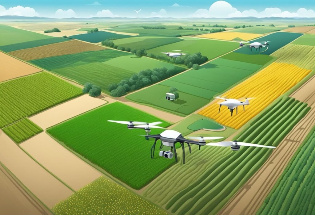
Using GIS and Drone Mapping in Agriculture: A Comprehensive Guide

Using GIS and drone mapping in agriculture has become increasingly popular in recent years. This technology allows farmers to collect data on their crops and land quickly and accurately, leading to more efficient and sustainable farming practices. By using drones equipped with cameras and other sensors, farmers can gather information on crop health, soil moisture

Using GIS and Drone Mapping in Agriculture: A Comprehensive Guide Read More »

urban geography

What is Urban Geography? An Overview of the Study of Cities and Their Environments

Urban geography is a subfield of human geography that focuses on the study of cities and urban areas. It examines the spatial patterns, social and economic structures, and cultural processes that shape urban areas. Urban geographers seek to understand the complex relationships between people and the built environment in urban areas, and how these relationships

What is Urban Geography? An Overview of the Study of Cities and Their Environments Read More »

drone mapping equipment

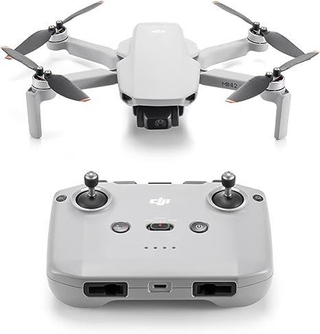
Drone Mapping: Revolutionizing Land Surveying and Geospatial Analysis

Drone mapping, also referred to as aerial surveying, involves the use of drones or unmanned aerial vehicles (UAVs) equipped with cameras, LIDAR sensors, GPS, and other technologies to capture high-resolution images and data from the air. This technique allows for the collection of detailed geographic information over large areas that might be difficult, dangerous, or

Drone Mapping: Revolutionizing Land Surveying and Geospatial Analysis Read More »

Scroll to Top