
drone mapping

using drones as a mapping tool especially in the agriculture segment

drones for search and rescue operations

The Future of Emergency Response: Drone Locate-and-Rescue Services

Drone locate-and-rescue services represent a cutting-edge innovation in the field of emergency response. These services involve the use of unmanned aerial vehicles, commonly known as drones, to locate and assist individuals in distress during emergency situations such as natural disasters, accidents, or search and rescue missions. The integration of drone technology with traditional emergency response

The Future of Emergency Response: Drone Locate-and-Rescue Services Read More »
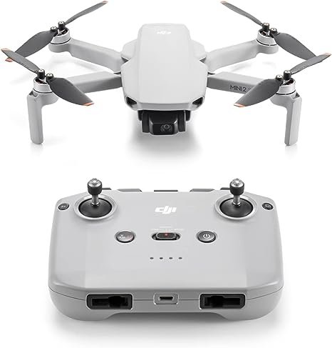
drone mapping equipment

Using GIS and Drone Mapping in Agriculture: A Comprehensive Guide

Using GIS and drone mapping in agriculture has become increasingly popular in recent years. This technology allows farmers to collect data on their crops and land quickly and accurately, leading to more efficient and sustainable farming practices. By using drones equipped with cameras and other sensors, farmers can gather information on crop health, soil moisture

Using GIS and Drone Mapping in Agriculture: A Comprehensive Guide Read More »

drone mapping equipment

Drone Mapping: Revolutionizing Land Surveying and Geospatial Analysis

Drone mapping, also referred to as aerial surveying, involves the use of drones or unmanned aerial vehicles (UAVs) equipped with cameras, LIDAR sensors, GPS, and other technologies to capture high-resolution images and data from the air. This technique allows for the collection of detailed geographic information over large areas that might be difficult, dangerous, or

Drone Mapping: Revolutionizing Land Surveying and Geospatial Analysis Read More »

Scroll to Top