

Why Listen to Us
Discover our unique insights that set us apart within the industry
Expertise
Led by a passionate geographer with over 20 years of experience in GIS
Cutting-edge Information
Dedication to delivering up-to-date and advanced geographic insights
- GIS Industry Outlook for 2026 and Beyond: Trends, Opportunities, and Challenges Ahead
 The Geographic Information System (GIS) industry is set for sustained growth in 2026 and beyond, driven by advancements in technology and expanding applications across multiple sectors. Businesses and governments are increasingly leveraging GIS for urban planning, infrastructure management, and environmental monitoring, which highlights the critical role of geographic data in decision-making processes. The market is… Read more: GIS Industry Outlook for 2026 and Beyond: Trends, Opportunities, and Challenges Ahead
 - What is a Land Parcel Map: Definition and Uses
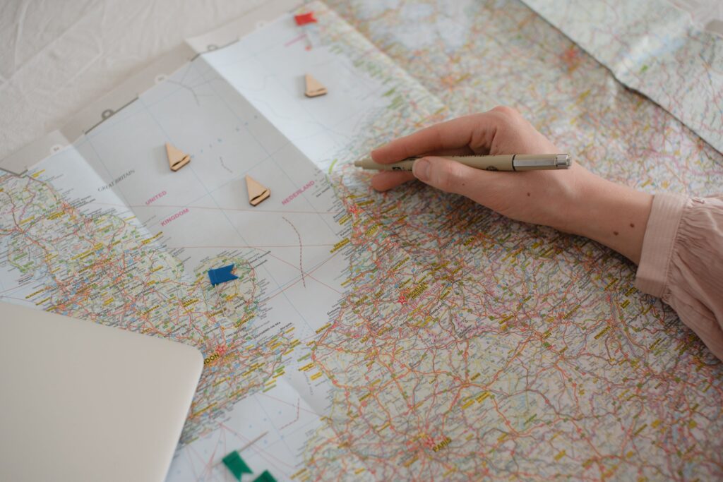
 A land parcel map is a visual representation of a specific area of land that has been divided into individual parcels. These maps are used to define the boundaries of each parcel and provide information about the size and shape of the land. They are an essential tool for land surveyors, real estate professionals, and… Read more: What is a Land Parcel Map: Definition and Uses
 - Eight Ways to Live More Sustainably: Tips and Tricks for a Greener Lifestyle
 Living sustainably is becoming increasingly important as the world faces environmental challenges such as climate change, pollution, and resource depletion. Many people are interested in making changes to their lifestyle to reduce their environmental impact, but may not know where to start. Fortunately, there are many easy ways to live more sustainably that can make… Read more: Eight Ways to Live More Sustainably: Tips and Tricks for a Greener Lifestyle
 - Using GIS and Drone Mapping in Agriculture: A Comprehensive Guide
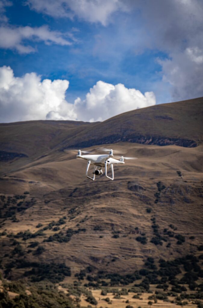
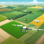
 Using GIS and drone mapping in agriculture has become increasingly popular in recent years. This technology allows farmers to collect data on their crops and land quickly and accurately, leading to more efficient and sustainable farming practices. By using drones equipped with cameras and other sensors, farmers can gather information on crop health, soil moisture… Read more: Using GIS and Drone Mapping in Agriculture: A Comprehensive Guide
 - What is Urban Geography? An Overview of the Study of Cities and Their Environments
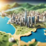 Urban geography is a subfield of human geography that focuses on the study of cities and urban areas. It examines the spatial patterns, social and economic structures, and cultural processes that shape urban areas. Urban geographers seek to understand the complex relationships between people and the built environment in urban areas, and how these relationships… Read more: What is Urban Geography? An Overview of the Study of Cities and Their Environments
Please subscribe below to our newsletter. We’ll keep you updated on everything geospatial.